Maps of the Southern Sierra
Watersheds of the Southern Sierra (Click on thumbnails to view full size PDF)
|
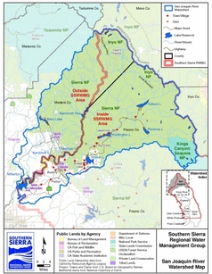
San Joaquin River Watershed
|
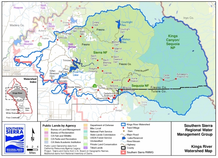
Kings River Watershed
|
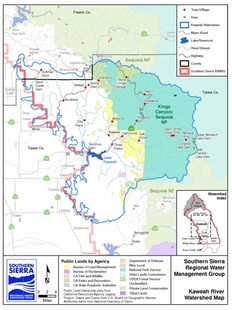
Kaweah River Watershed
|
|
|
|
|
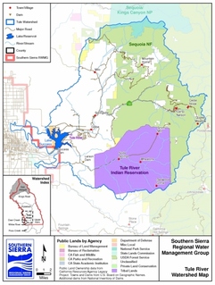
Tule River Watershed
|
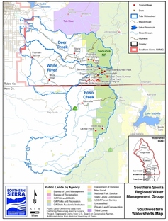
Deer, White, Poso River Watershed
|
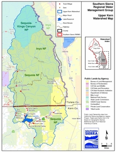
Upper Kern River Watershed
|
Natural Features of the Southern Sierra (Click on thumbnails to view full size PDF)
|
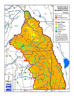
Geology
|
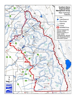
Hydrology
|
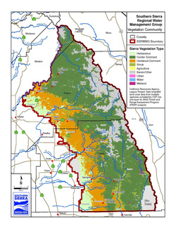
Vegetation
|
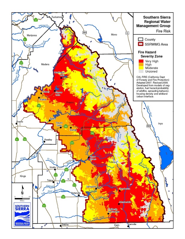
Fire Risk
|
General Geography of the Southern Sierra (Click on thumbnails to view full size PDF)
|
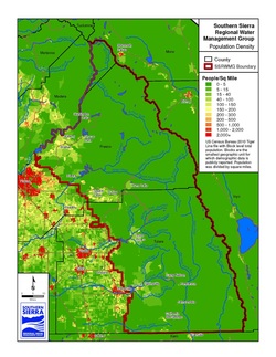
Population Density
|
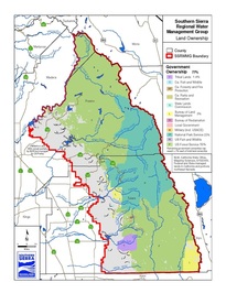
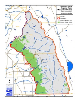
Land Ownership
|
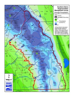
Average Precipitation
|
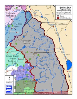
Neighboring IRWMs
|
|
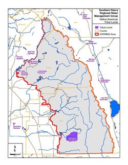
Native American Lands
|
Public/Private Lands
|
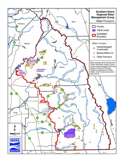
Water Purveyors
|
DAC and Tribal Water Systems

|